Historic Alexandria Maps
View historic maps from 1624 to 1862.
Page updated on January 5, 2022 at 11:57 AM
XWARNING: You have chosen to translate this page using an automated translation system.
This translation has not been reviewed by the City of Alexandria and may contain errors.
Historic Alexandria Maps
Full-sized images of these maps can be found at the Library of Congress, Geography and Map Division, except as noted.
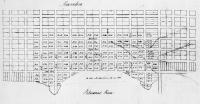
![1782, “Amérique Campagne - Camp a’Alexandrie [sic],” Comte de Rochambeau (Library of Congress)](/sites/default/files/styles/gallery_thumbnail/public/2021-11/Map-1782-Rochambeau.jpg?itok=J8JpZoMv)

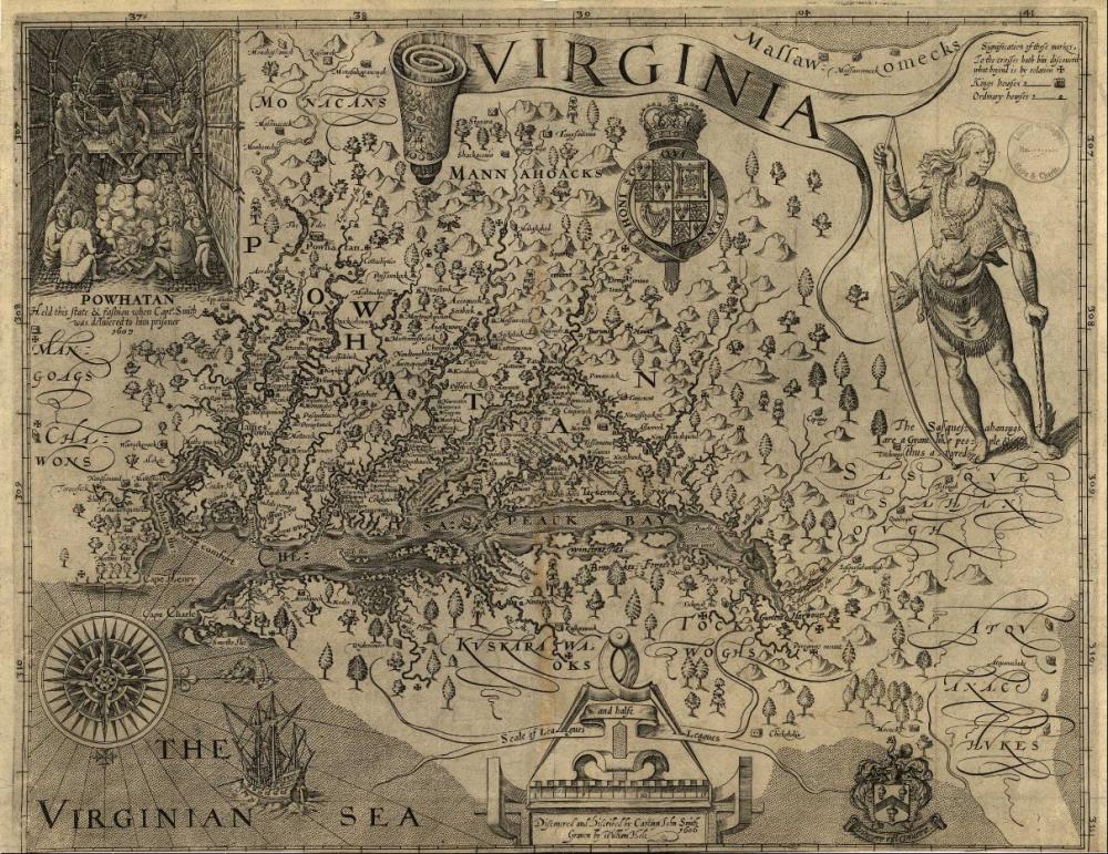
John Smith
"Virginia / discovered and discribed by Captayn John Smith, 1606; graven by William Hole," published London 1624.
Source: Library of Congress, Geography and Map Division.
Call Number: G3880 1624 .S541 Vault
Digital ID: g3880.ct000377
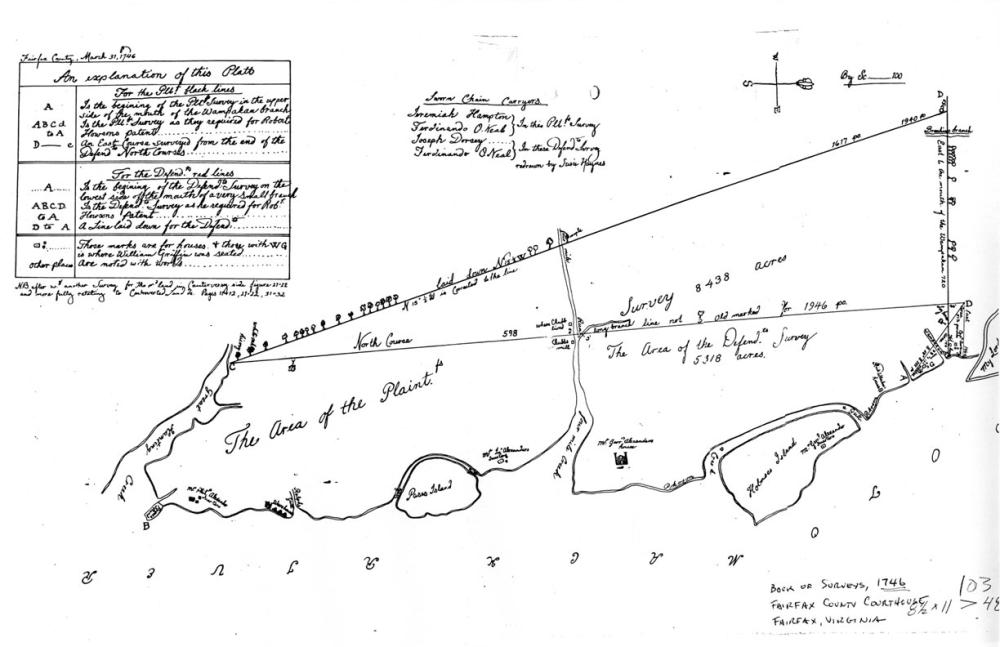
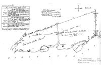
Source: Book of Surveys, 1746, Fairfax County Courthouse
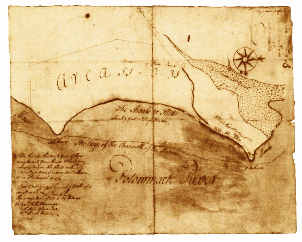
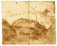
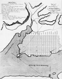
George Washington
Source: Library of Congress, Geography and Map Division.
Call Number: G3884.A3 1748 .W3 Vault
Digital ID: (recto) g3884a.ct000368r; (verso) g3884a.ct000368v
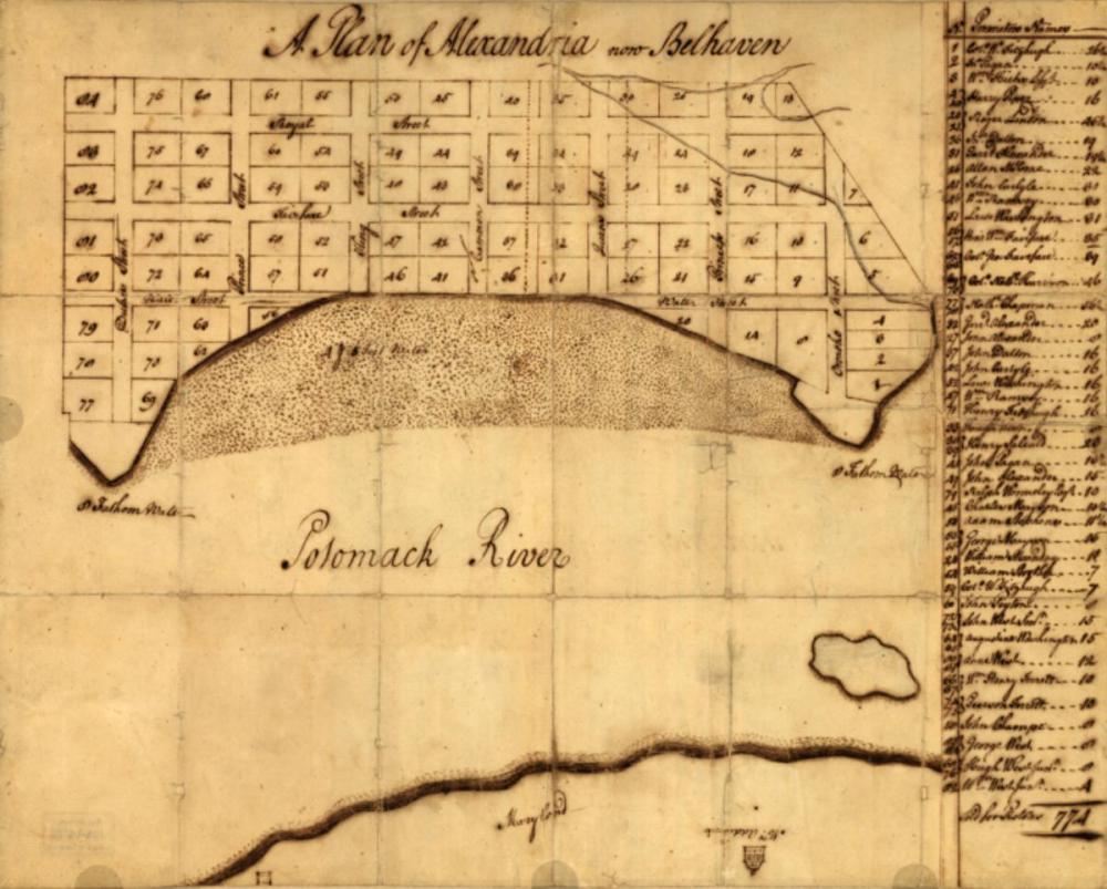
George Washington
Source: Library of Congress, Geography and Map Division.
Call Number G3884.A4 1763.W4 Vault
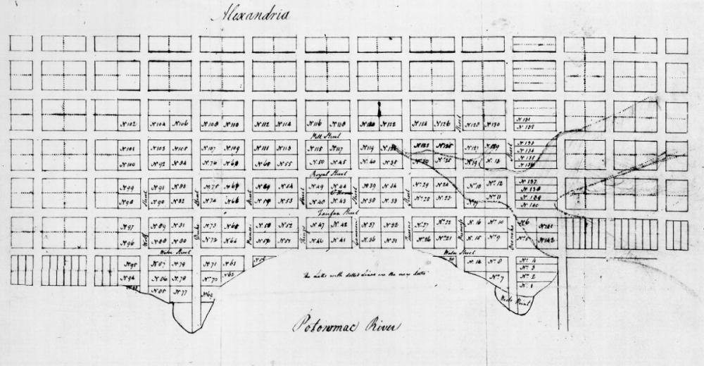
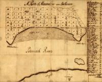
George West
Source: Library of Congress, Geography and Map Division.
Call Number G3884.A4 1763.W4 Vault
![1782, “Amérique Campagne - Camp a’Alexandrie [sic],” Comte de Rochambeau (Library of Congress)](/sites/default/files/styles/gallery_item/public/2021-11/Map-1782-Rochambeau.jpg?itok=wSJsy6EC)
Comte de Rochambeau
From Amérique Campagne, an atlas of 40 maps
Source: Library of Congress, Geography and Map Division.
Call Number: G1201.S3 R65 1782 Vault : Roch 67
Digital ID: g3701sm gar00001
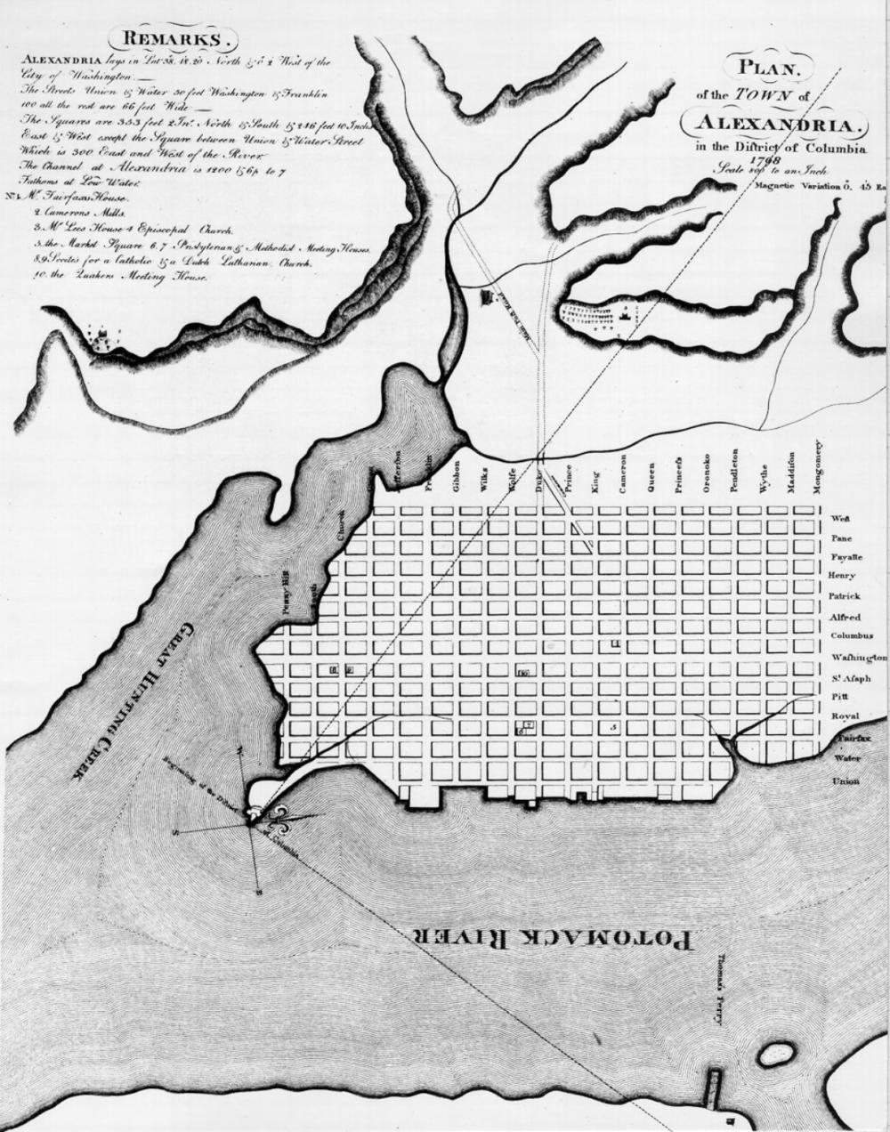
Colonel George Gilpin
Source: Library of Congress, Geography and Map Division.
Call Number: G3884.A3 1798 .G5 Vault
Digital ID: g3884a.ct001432
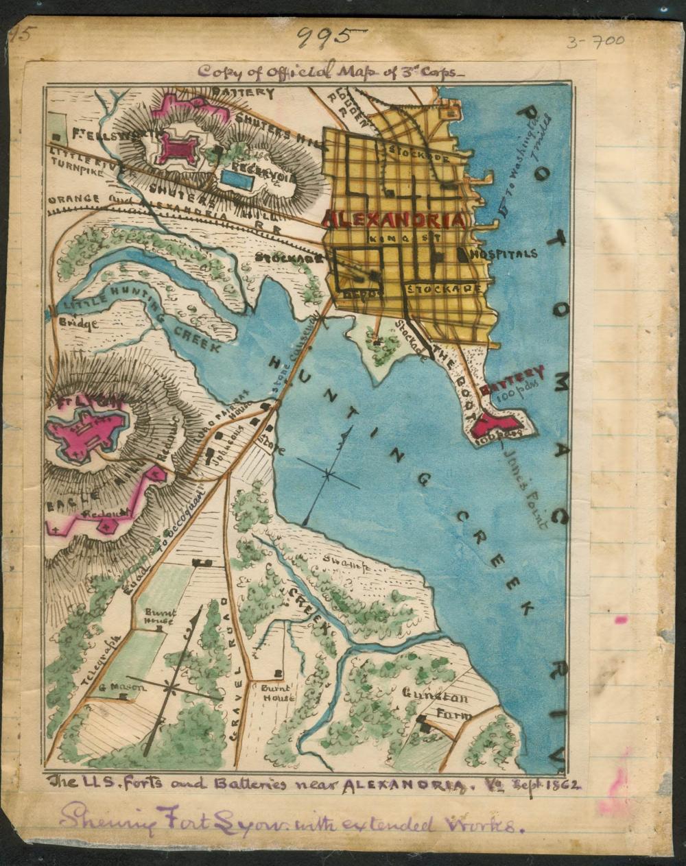
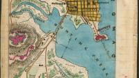
Showing Fort Lyon with extended works
Robert Knox Sneden
Source: Library of Congress, Geography and Map Division.
Repository: Virginia Historical Society
Digital ID: gvhs01 vhs00110